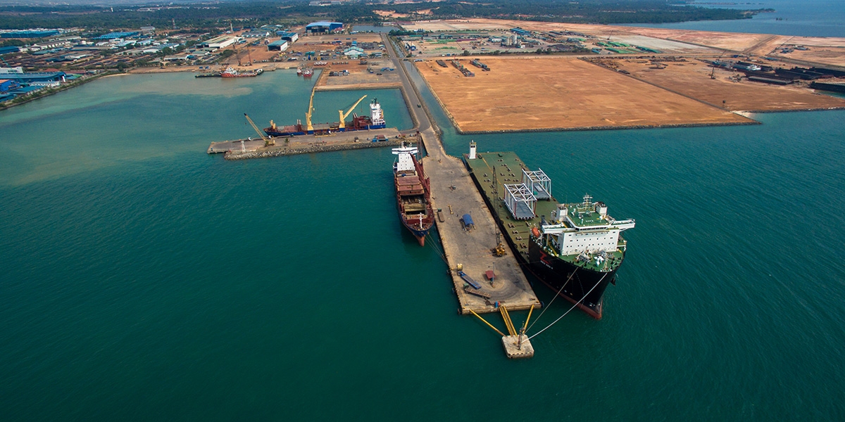
Geographical position : 01° - 06' - 39" N / 104° - 08' - 25" E.
Navigation Chart : Issued by Indonesia Hydro - Oceanography, July 2007 edition.
Indonesian Chart : Map No. 49 October 2010.
Standart Time : GMT + 07 Hrs.
Pilotage : Compulsory.
Tugboats : Available / Request.
Pilot Boarding Ground : 01° - 07' - 00" N/ 104° - 10' - 30" E.
Communication: Pilot CH.08 / 156.400 VHF, Citranusa Kabil Port Control CH.09 - 156.450 VHF / CH.10 – 156.600 VHF.
Berth Particulars
Berth 2
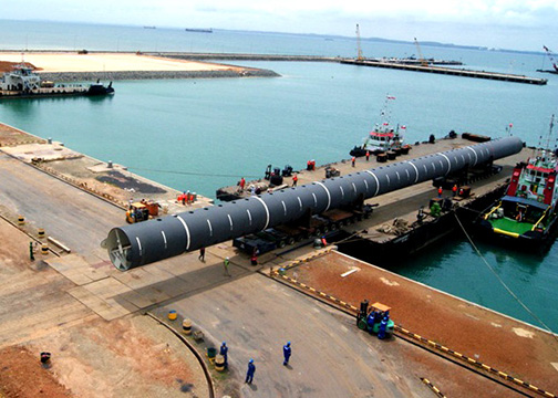
Type: Small Craft / Barge Berth.
Length of berth: 130 Meters.
Breasting Dolphin : 4 unit, 2 Unit each (5.4 x 3)m2 and 2 unit (4.3 x 2.4)m2.
Mooring Dolphin : 2 unit each (3.5 x 3.5)m2.
Construction: Piled concrete floor.
Bollard: Metal Type 6 units, 20 Tons.
Rubber fender: 4 units.
Carne pad load : 20 ton/m2 (10x12)m.
Depth : 5 meter LWS.
For vessel : 2000 DWT.
Coordinate : 01°06'43.3" N 104° 08'41.1" E.
Berth 2
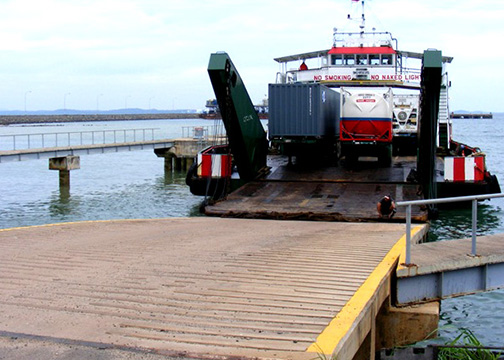
Type : Landing Craft (RORO).
Ramp Door : 30 x 7.5 meter.
Catwalk : 75 x 12.5 meter.
Breasting Dolphin : 2 Unit each (5.6 x 4.7) m2.
Mooring Dolphin : 2 Unit each (4.2 x 4.2) m2.
Construction : Piled Concrete Floor.
Bollard : Metal type 4 unit, 20T.
Rubber Fender : 2 Units.
Depth : 5 meter LWS.
For vessel : LCT / RORO.
Coordinate : 01o 06'46.3" N 104o 08'46.8" E.
Berth 3
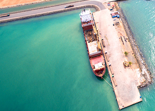
Type : Jetty.
Dimension : 176 x 29 meter.
Construction : Piled Concrete Floor.
Rubber Fender : 15 Unit.
Bollard : Metal type 15 unit, 55 tons.
Load : 3 tons / m2.
Depth : 10 meter LWS.
For Vessel : 30,000 DWT.
Coordinate : 01° 06' 35.4" N 104° 08' 57.8 E.
Berth 4, Berth 5 South Position & Berth 6 North Position
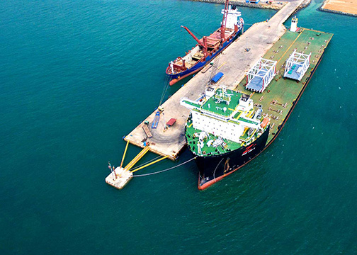
Type : Jetty.
Dimension : 176 x 29 meter.
Construction : Piled Concrete Floor.
Rubber Fender : 15 Unit.
Bollard : Metal type 15 unit, 55 tons.
Load : 3 tons / m2.
Depth : 10 meter LWS.
For Vessel : 30,000 DWT.
Coordinate : 01° 06' 35.4" N 104° 08' 57.8 E.

